Google Earth
Maps & Navigation
2026-09-03
88.47MB
10.113.60.01
Android 4.3+
212
Screenshots
Introduction
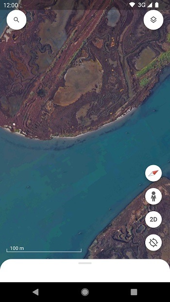
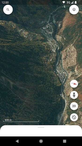
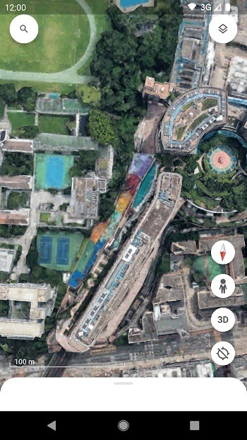
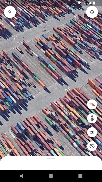
Google Earth is a map and virtual globe application developed by Google. This application features highly realistic 3D cities and terrains. Users can freely tilt and rotate the map, smoothly switching between different perspectives. It provides a clear view of various locations from all angles. The application also offers a unique 360-degree street view, giving users an immersive experience. Users can also add landmarks, draw lines, attach photos, and more. Through the application's powerful built-in search tools, users can discover specific locations, landmarks, and more, making it easy to plan trips or conduct research.
Features
Photorealistic 3D cities and terrain
Google Earth renders buildings, mountains, coastlines, and landscapes in detailed 3D so you understand places at a glance. You can tilt and rotate the map to view elevation and city skylines from different angles. Move smoothly between viewpoints to compare terrain and city detail.
Street View for ground-level context
With Street View, you enter 360° imagery to see streets, landmarks, and storefronts as if you were there. This helps you preview routes, confirm meeting points, or explore famous sites before a trip.
Create and collaborate on projects
For projects, you can add placemarks, draw lines and areas, attach photos or videos, and write notes. After you organize a project, share it with collaborators and present each place in sequence inside Google Earth.
Voyager guided stories
When you want guided learning, open Voyager to find curated stories and quizzes from educators and scientists. Explore collections such as Earth View, This is Home, and the Carmen Sandiego series through simple step by step tours.
Highlights
High-Resolution Satellite Imagery: It offers users access to high-quality satellite imagery that provides a detailed, bird's eye view of various locations worldwide. Users can zoom in and out to explore landscapes, cities, natural landmarks, and more with remarkable clarity.
Offline Viewing: While some features require an internet connection, it allows users to view previously loaded maps without connection. This offline capability ensures access to maps even in areas with limited connectivity.
Search and Discovery Tools: The app provides robust search tools, enabling users to discover specific locations, landmarks, businesses, and more. This makes it convenient for planning trips or conducting research about various places.
Layered Information: Users can access different layers of information, including geographical, historical, and ecological data. This feature allows for a more comprehensive understanding of specific areas or regions.
Integration with Google Services: It seamlessly integrates with other Google services, allowing easy access to saved locations, sharing features, and synchronization across different devices.
Pros and Cons
Pros
3D images of the entire planet
It allows you to plan trips and explore remote places
Voyager feature for virtual tours
With timelapse functionality
Cons
Image quality depends on the selected region
It does not offer real-time images
FAQs
What is Google Earth used for?
Google Earth is used to view satellite maps, 3D terrain, buildings, streets, landmarks, and locations around the world from a phone or computer.
Does Google Earth show live images?
No. Google Earth shows detailed imagery, but it does not provide live satellite video. Some images may be newer or older depending on the location.
Can I use Google Earth APK for travel planning?
Yes. You can check destinations, streets, landmarks, nearby areas, and terrain before visiting, which makes it useful for planning routes and learning about a place.
What are the main features of Google Earth APK?
Its main features include satellite imagery, 3D maps, Street View, Voyager guided content, Timelapse, location search, map markers, and project creation tools.
Conclusion
Google Earth APK is suitable for students, teachers, travelers, geography fans, researchers, and anyone who likes learning through visuals. It works well when you want to preview a place, understand land features, plan a trip, compare locations, or build a simple map project. This review is written from a practical app-use perspective, based on official app details and common user needs, so readers can quickly understand what the app does and where it may fall short.
-
Latest Updates
-
Featured Apps